UAV & Aerial Mapping
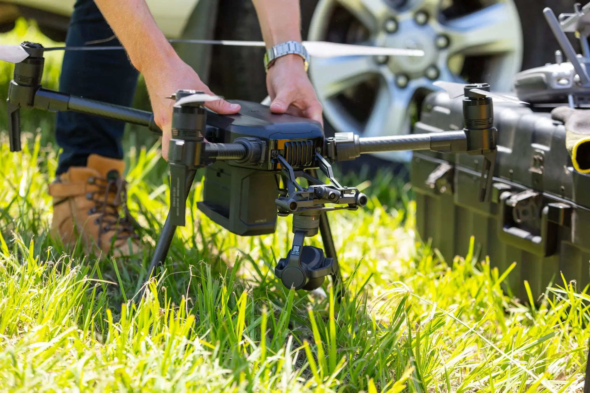
Capture your entire site from above — progress photography, topographic mapping, volumetric analysis — without disrupting work on the ground.
Applications:
- Construction progress documentation with time-stamped imagery
- Earthwork volume calculations (cut/fill, stockpiles, site grading)
- Digital terrain models (DTMs) for design and drainage analysis
- Infrastructure route planning and corridor mapping
- Asset mapping and site documentation